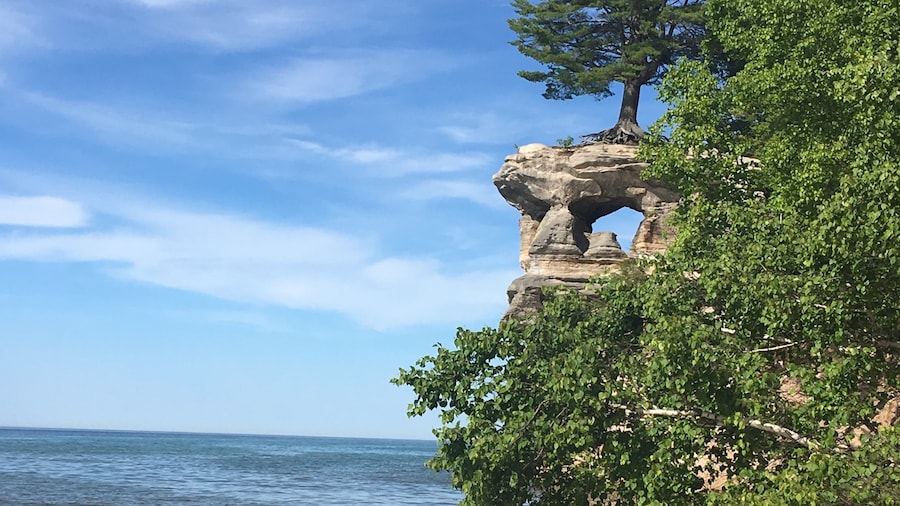
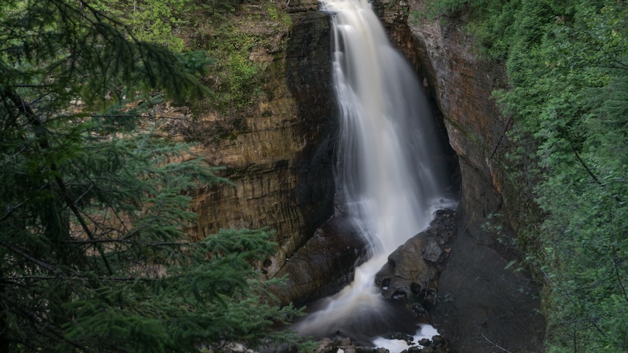
Observe picturesque cliffs, shoreline, waterfalls and beaches at this secluded area along Upper Michigan’s Lake Superior coastline.
Michigan’s Pictured Rocks National Lakeshore offers opportunities to explore some of the most varied coastline in the United States without visiting the ocean. The area became America’s first national lakeshore in 1966. Its 42 miles (68 kilometers) of shoreline range from colorful sandstone cliffs to windswept dunes and white beaches. Dip your toes in chilly Lake Superior as you gaze over the clear waters of America’s largest and deepest lake.
The park offers a wealth of activities year-round. See its sandstone cliffs rising up to 200 feet (60 meters) above the lake, with multiple colors inspiring the name of pictured rocks. Hike along the 90 miles (145 kilometers) of the park’s trails to discover special surprises in every season.
Look for trillium, jack-in-the-pulpit and trailing arbutus flowers in spring. Travel by boat along the shoreline for a unique perspective. Bridalveil Falls is visible only from the lake, with optimum water flow in the spring. Fish for trout and bass in the three lakes and five streams of the Beaver Basin Wilderness.
In summer, kayak, scuba dive or take a glass-bottom boat to some of the many shipwrecks along this treacherous coastline. Look down through 20 feet (6 meters) of clear water at Spray Falls to observe the 1856 shipwreck of the Superior sidewheel steamship. Visit the Au Sable Light Station, built in 1873, and other lighthouses installed to help sailors navigate Lake Superior’s southern shoreline. Be prepared for briskly cold water if you want to swim.
Autumn brings the opportunity to enjoy fall colors or hunt for white-tailed deer, grouse, woodcock, bear and snowshoe hare. In winter, cross-country ski or snowshoe along the trails or try ice climbing between Munising Falls and Sand Point.
Drive 1 hour east of Marquette Michigan to reach Pictured Rocks National Lakeshore. Boat tours of the park leave from Munising, just minutes away. Summer and winter camping is available in the park. For a double treat, visit the long and majestic Mackinac Bridge connecting Michigan’s two peninsulas and then drive about 2 hours northwest to the shoreline. The park is open year-round with free entrance.


