

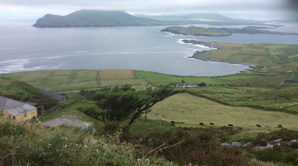
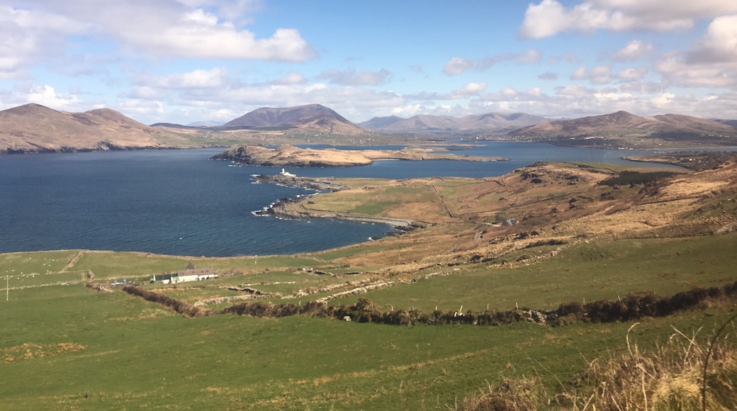

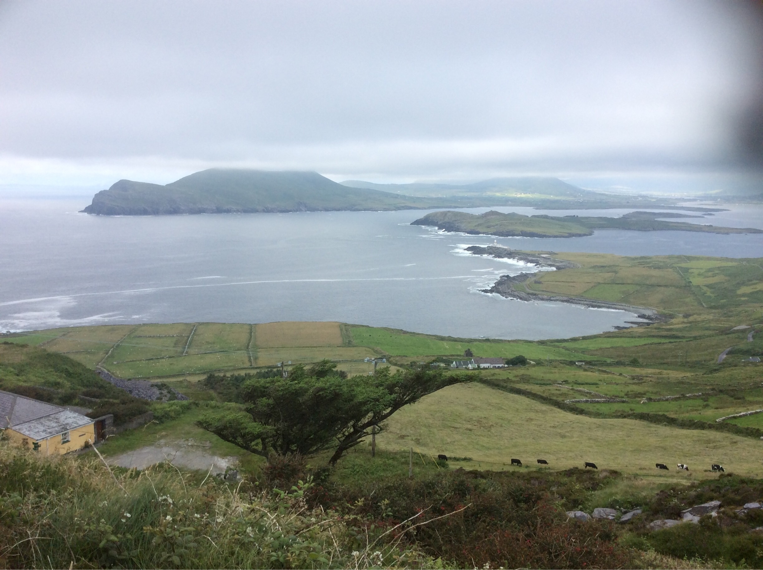
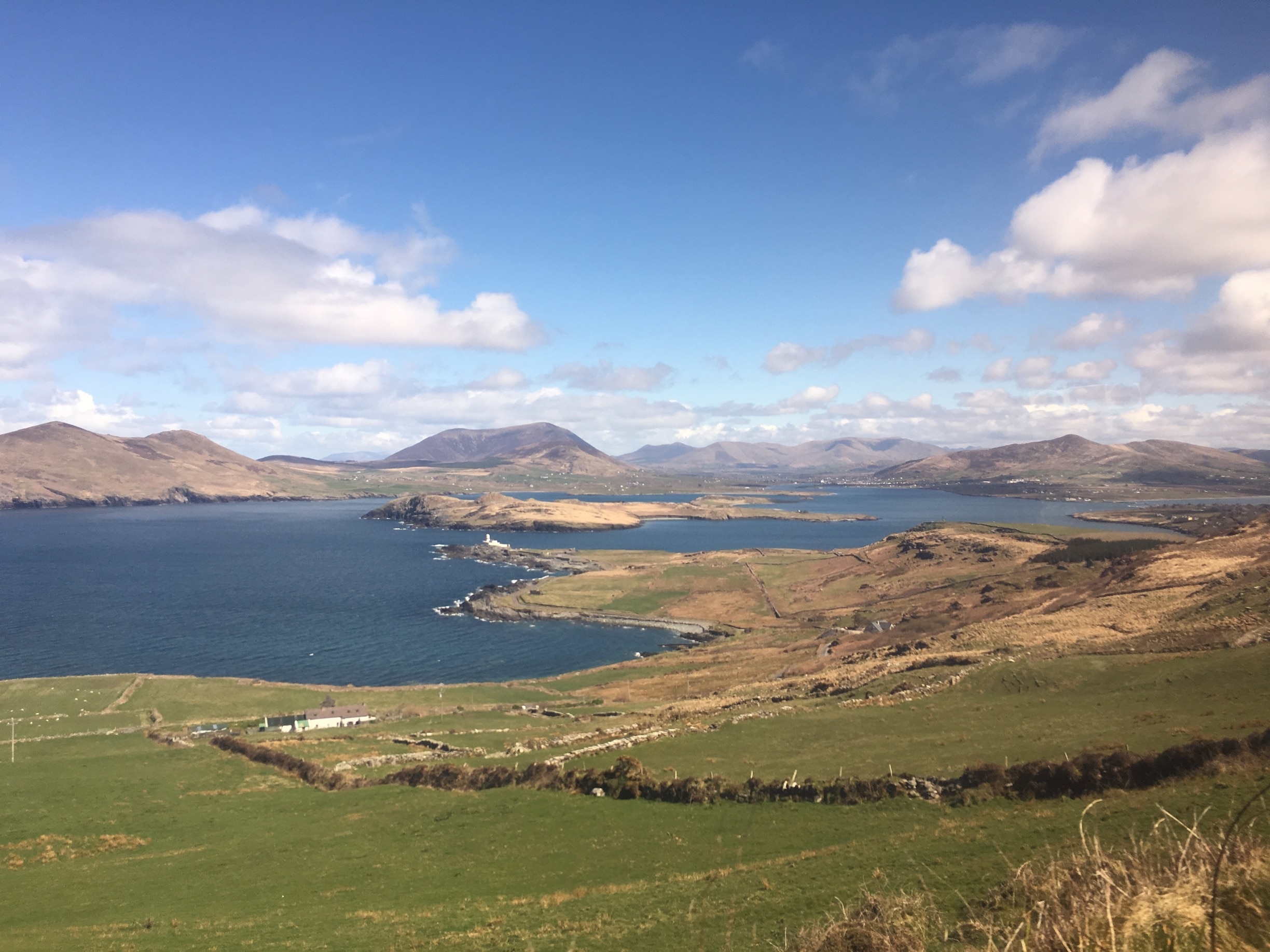
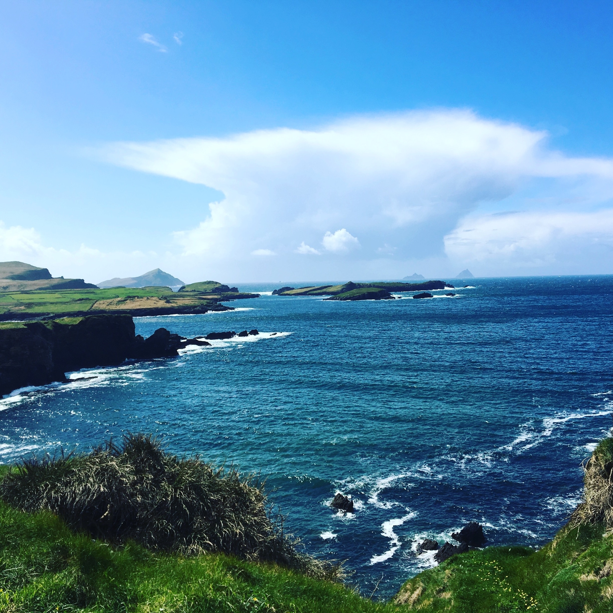
Valentia Island is an idyllic place off the south-west coast of County Kerry, which itself lies to the south-west of Republic of Ireland, its fingers of land stretching out into the Atlantic Ocean. The island is small — about seven miles long and two miles wide.
Not completely separated from the mainland, Valentia Island is linked by a causeway across the Portmagee Channel.
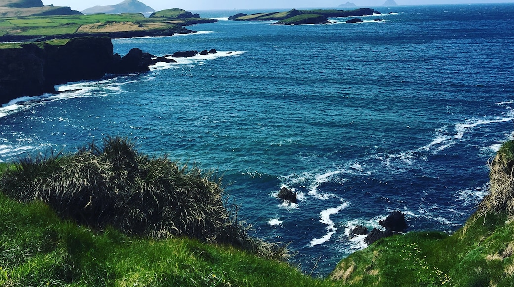
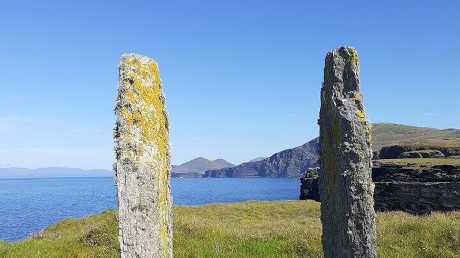
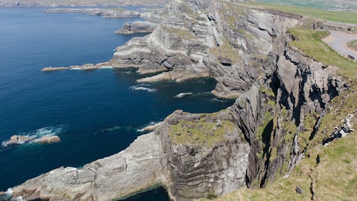
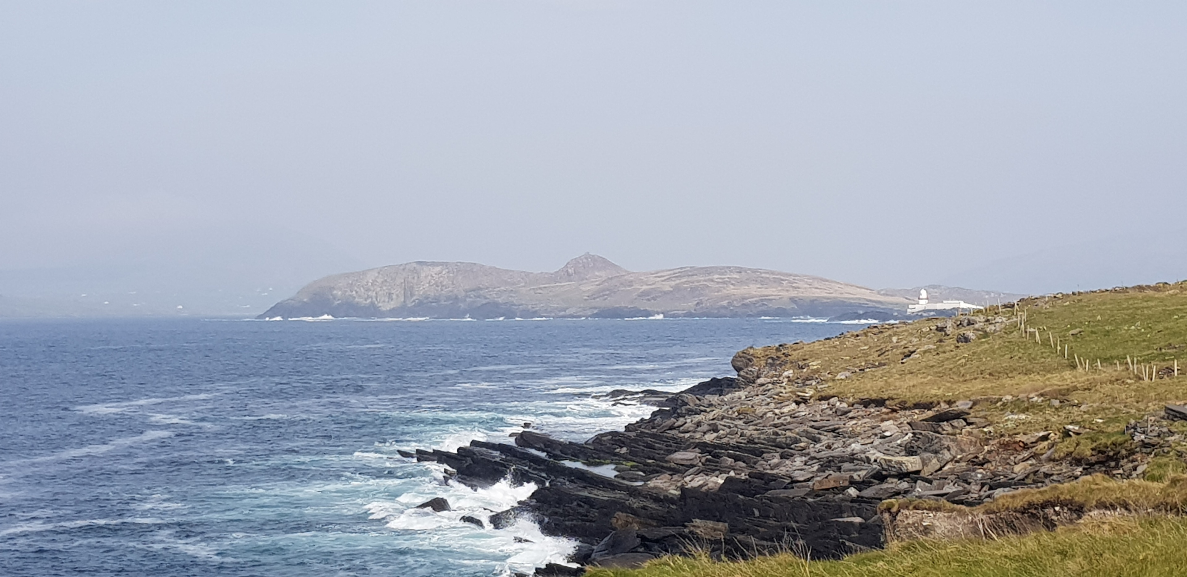
It a place of stunning natural beauty with dramatic cliffs at Bray Head and breathtaking views from Valentia Island's highest point, Geokaun Mountain. There is a fabulous walk to the summit but if your legs fail you, it is possible to drive too.
Its shores washed by the Gulf Stream, Valentia Island benefits from lush vegetation, bountiful wild flowers and a balmy climate. It is the perfect place for many water-based activities — diving and surfing, kayaking and sailing, fishing and coasteering.
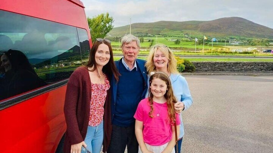
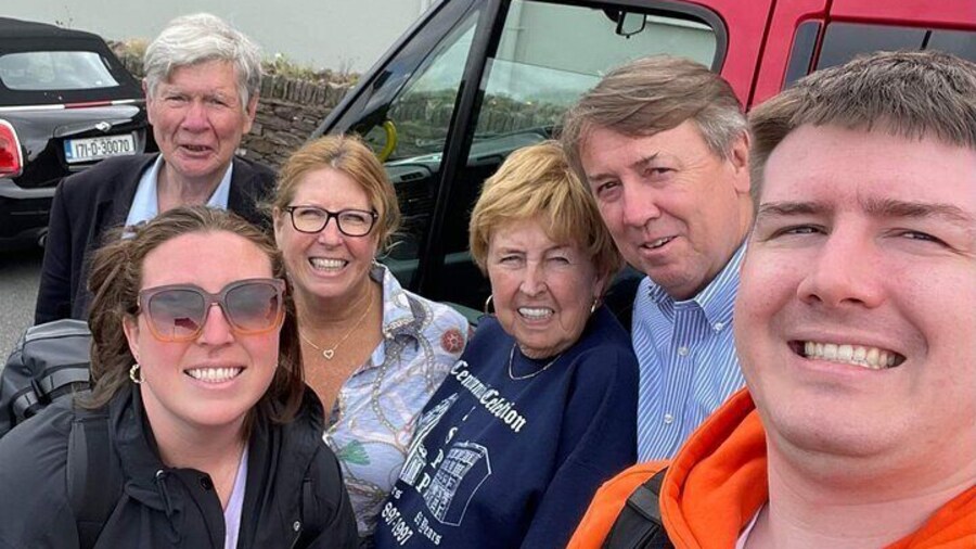
On land, there are walking, cycling and climbing, not to mention beachcombing and bird-watching, so never a dull moment for the active visitor. There is plenty of accommodation too.
Valentia Island's main claim to fame is that it was the eastern end of the first transatlantic cables. After two failed attempts, the third cable was pulled ashore in Newfoundland in 1866, to a little fishing village with the sweet name of Heart's Content.
This was a staggering 1940 miles away from Valentia Island. Messages, until then, took two weeks to reach America, weather permitting.
Sublime natural beauty and an amazing history — what more could you wish for?


