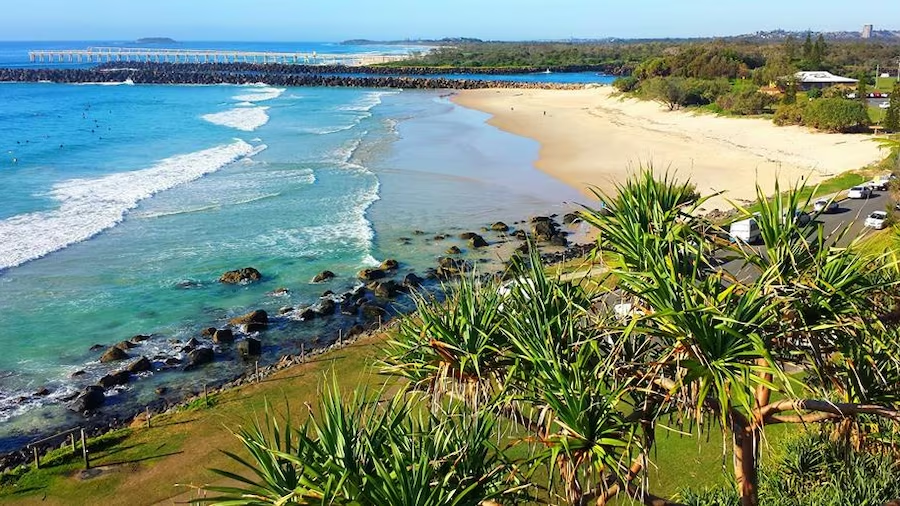
Where the Tweed River meets the Coral Sea sits an elevated headland that marks the border between the states of Queensland and New South Wales.
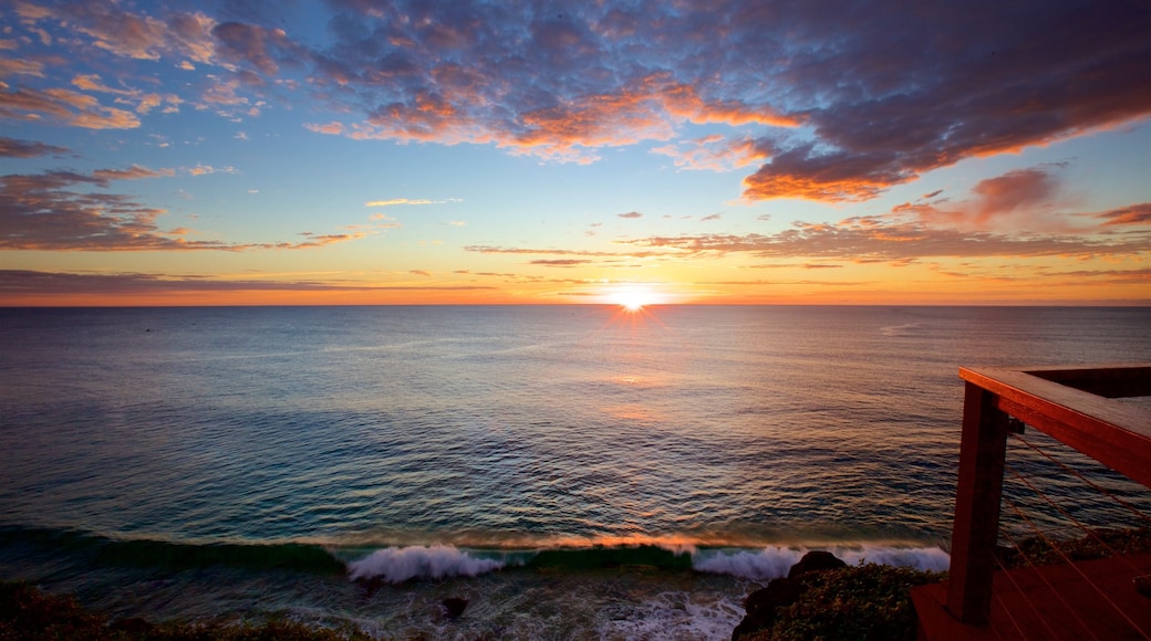
Gaze out over the ocean and the river mouth when you visit Point Danger. Apart from being a great vantage point for seeing cool surfing stunts and breaching whales, this headland itself has a few fascinating sights too.
British explorer James Cook named Point Danger shortly after sighting the peak of Wollumbin, which he named “Mount Warning.” However, it was later concluded that he had been referring to the conspicuous shoals at nearby Fingal Head instead. By then the maps for the Queensland-New South Wales border had already been drawn up, so the name stuck.
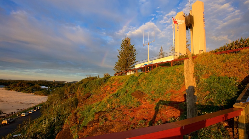
Look for the cast-iron tiny replica of part of Cook’s Endeavour ship below the Captain Cook Memorial, which doubles as the Point Danger Light. This Brutalist-style monument and lighthouse has guided boats to the river inlet since 1971. The Marine Rescue Center of Point Danger now sits at the base of this towering concrete landmark.
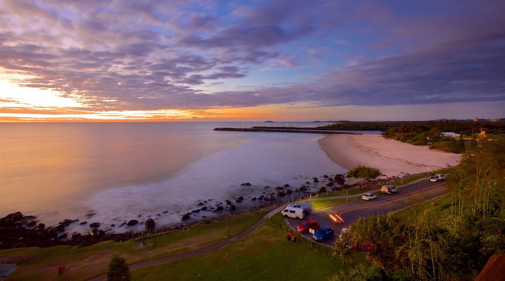
Look south to see the Letitia Spit extending far out to sea. On a clear day you can even see the Byron Bay lighthouse beyond it, marking the easternmost point of mainland Australia.
Relax a while in Point Danger Park with its shade shelters, picnic tables and barbecues.
Follow the boardwalk of the Centaur Remembrance Walk out to the beach. Along the way, read several memorial plaques that honor those who lost their lives at sea during past naval wars and marine disasters.
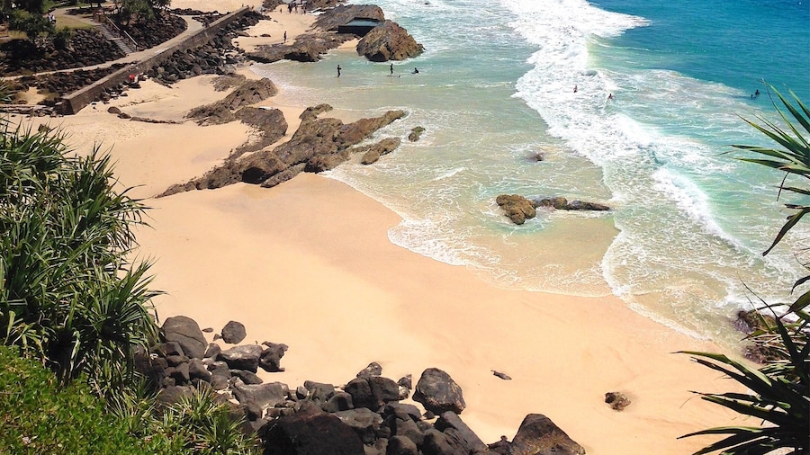
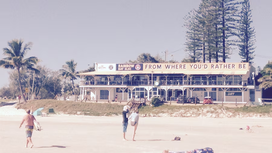
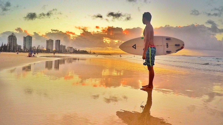
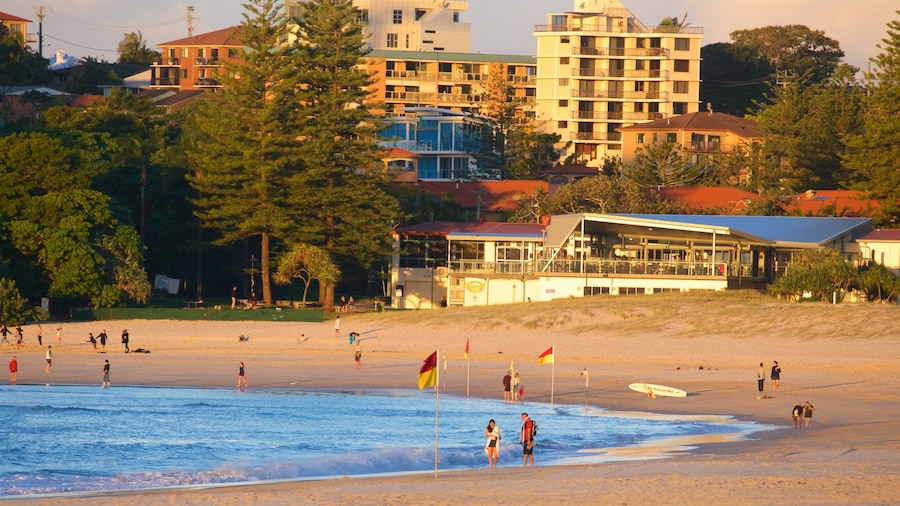
The small cove below is Froggy Beach. It’s a great surfing beach for pros and nearby Duranbah Beach is even better. For swimming, it is safer to take a dip in the carved-out rock pool at Snapper Rocks or in adjacent Rainbow Bay.
Ride a bike along the Gold Coast Oceanway, which runs all the way from Point Danger to The Spit at the Gold Coast Seaway. This shared pedestrian and cycling track is some 22 miles (36 kilometers) long, with lots of pretty beaches and parklands along the way.
Point Danger is about 15 minutes by car from the Gold Coast Airport. Parking spaces are provided free of charge in a small lot near the lighthouse.
